Moin (Northern German for ‘Hello’), in the marshlands!
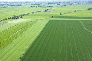
Landscape around Glückstadt
Where the Elbe passes Glückstadt, the river is about three kilometres wide. Due to the river bending southwards, the shipping channel is on the Lower Saxony side. The relatively weak tidal current flow directly in front of Glückstadt leads to increased sedimentation, which in turn has resulted in the Rhinplate sandbank. Since the sedimentation also affects the town’s harbour and the area around the northern ferry pier, the resulting sand and mud needs to be dug out and removed on a regular basis. Glückstadt has a typical maritime climate with mild temperatures and mostly wet weather as a result of the predominantly western wind. From time to time though, especially during the summer, storms approaching from the west ‘get stuck’ on the other side of the Elbe.
A closer look: Formation of the Elbmarschen
The Lower Elbe region is best known for its flat and wide marsh landscapes, the so-called Elbmarschen of Holstein. During the last ice age, the Weichselian Ice Age, this region was part of the riverbed of the Elbe which was one of the great glacial age rivers fed by melt waters and at that time up to 30 kilometres in width. As the ice receded, the flow rate of the river also decreased, resulting in sedimentation and a rise in the height of the riverbed.
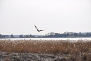
Riverbank
Approx. 4,000 years ago, the North Sea extended into the Elbe, resulting in further deposition of mud. Over time, the Elbe became narrower and embankments formed which provided a natural protection against floods. And when the river did burst its banks, the coarser sediments it transported were deposited mainly near the riverbank, whilst further inland at the ridge of the Geest the process resulted in the formation of bogs and marshlands. When the first people settled here and started to use the fertile soil for agriculture, they also started to drain the area using a system of ditches and channels. This led to a further subsidence of the already low ground and to the formation of the lowest land point in Germany at 3.54 metres below sea level in the Wilstermarsch. Today, new flooding is mostly prevented by dykes, tidal barriers and sluices.